NASA’s Perseverance Mars Rover Unlocks the Geologic Mysteries of Bright Angel
-
by Anoop Singh
- 13

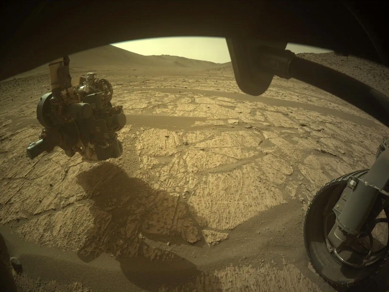
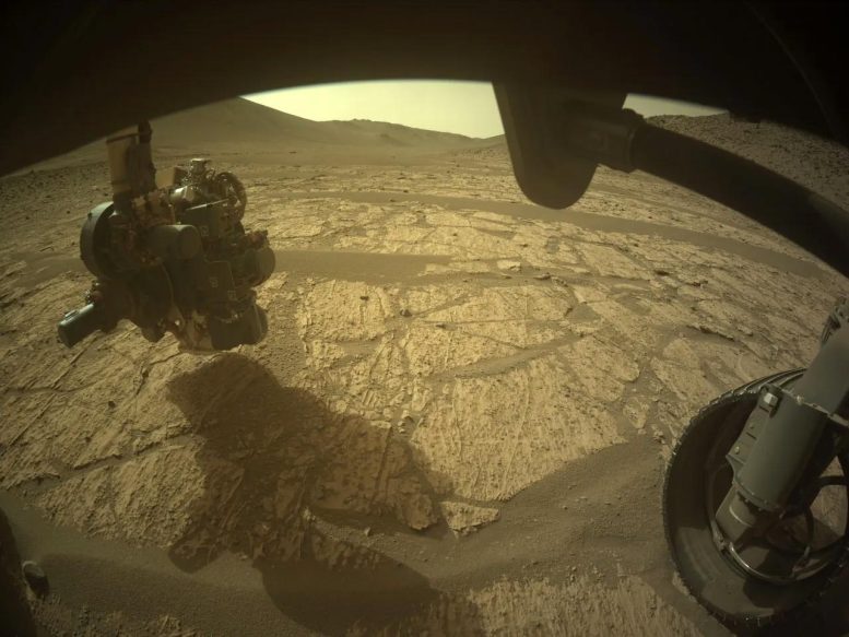
This image was acquired by the Front Right Hazard Avoidance Camera A on June 16, 2024 (Sol 1181) at the local mean solar time of 14:20:10. The image shows the area in front of the rover at Bright Angel with the arm extended as the PIXL instrument investigates the surface. Credit: NASA/JPL-Caltech
Perseverance rover recently arrived at Bright Angel, a notable site on Mars distinguished by its light-toned rocks, situated at the edge of the ancient Neretva Vallis river channel.
Last week, NASA’s Perseverance Mars rover arrived at the long-awaited site of Bright Angel, named for being a light-toned rock that stands out in orbital data. The unique color here, as well as the surface characteristics and location on the edge of the ancient river channel Neretva Vallis, made Bright Angel a location of interest for the Mars 2020 Science Team.
Initial Observations and Data Collection
After capturing some stunning long-distance images of Bright Angel (see below), Perseverance made the approach to the rocks. Closer camera images, Mastcam-Z, and SuperCam data showed intriguing surface textures on these light-toned rocks that the Science Team is actively working to understand.

NASA’s Perseverance rover was traveling in the ancient Neretva Vallis river channel when it captured this view of an area of scientific interest named “Bright Angel” — the light-toned area in the distance at right — with one of its navigation cameras on June 6. Credit: NASA/JPL-Caltech
Abrasion and In-depth Analysis
After a few days to process the beautiful images and exciting location, Perseverance executed a planned abrasion on the rocks in front of the rover, which can be seen in the above image if you look closely underneath the rover’s arm. This abrasion patch is named “Walhalla Glades” after an ancient archeological site in the Grand Canyon along the Colorado River, a tribute to Bright Angel’s location on the edge of the ancient Neretva Vallis river channel.
Proximity science instruments were deployed to look at the abrasion patch in detail and provide high-resolution geochemical data of these rocks. In the Hazard Avoidance Camera image above, the PIXL instrument is pointed down at the abrasion patch on the rock surface as it performs a scan.
Geological Context and Future Studies
The Science Team will take time to understand all the new data obtained at Bright Angel, comparing it to the past rocks Perseverance has investigated and determining if the area should be included in the sample cache onboard Perseverance. Characterizing the rocks of Bright Angel, connecting them to the surrounding rocks and sediment of Neretva Vallis, and placing them in context with the Crater Rim and Margin units should write an exciting chapter of the history of Jezero crater!
Written by Eleanor Moreland, Ph.D. Student Collaborator at Rice University
This image was acquired by the Front Right Hazard Avoidance Camera A on June 16, 2024 (Sol 1181) at the local mean solar time of 14:20:10. The image shows the area in front of the rover at Bright Angel with the arm extended as the PIXL instrument investigates the surface. Credit: NASA/JPL-Caltech Perseverance rover recently…
This image was acquired by the Front Right Hazard Avoidance Camera A on June 16, 2024 (Sol 1181) at the local mean solar time of 14:20:10. The image shows the area in front of the rover at Bright Angel with the arm extended as the PIXL instrument investigates the surface. Credit: NASA/JPL-Caltech Perseverance rover recently…
